
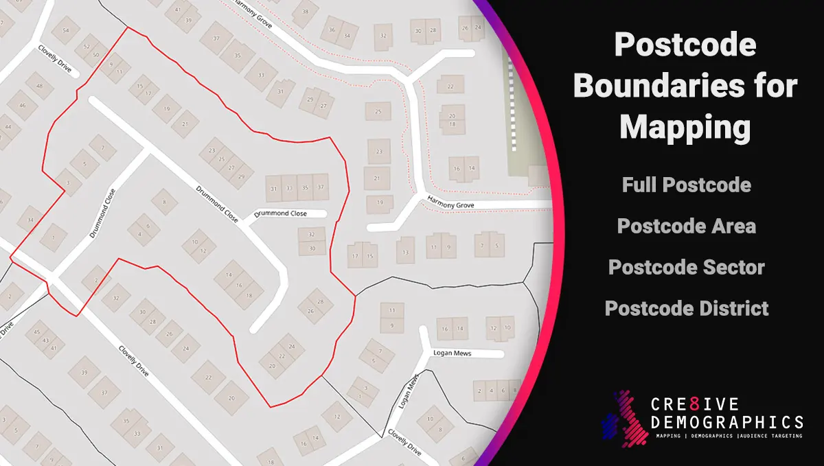
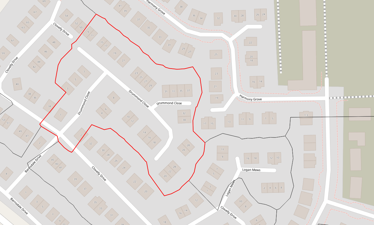
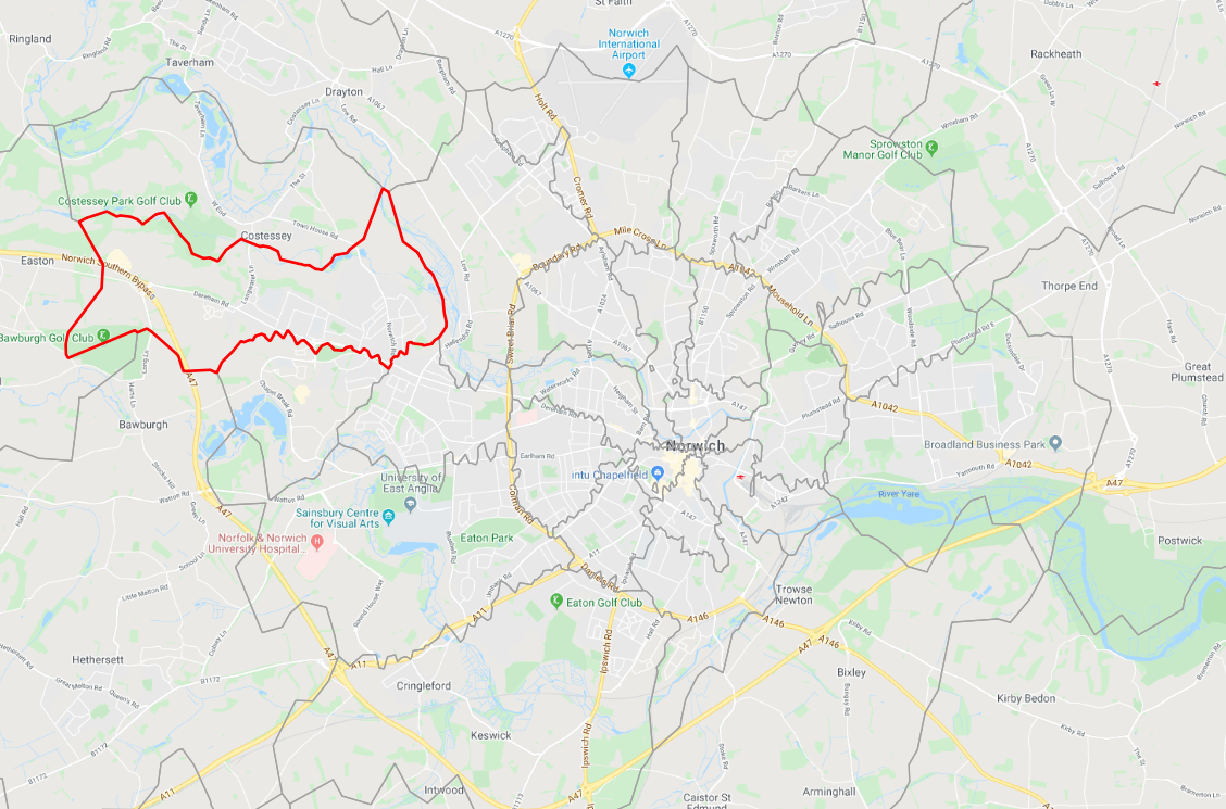
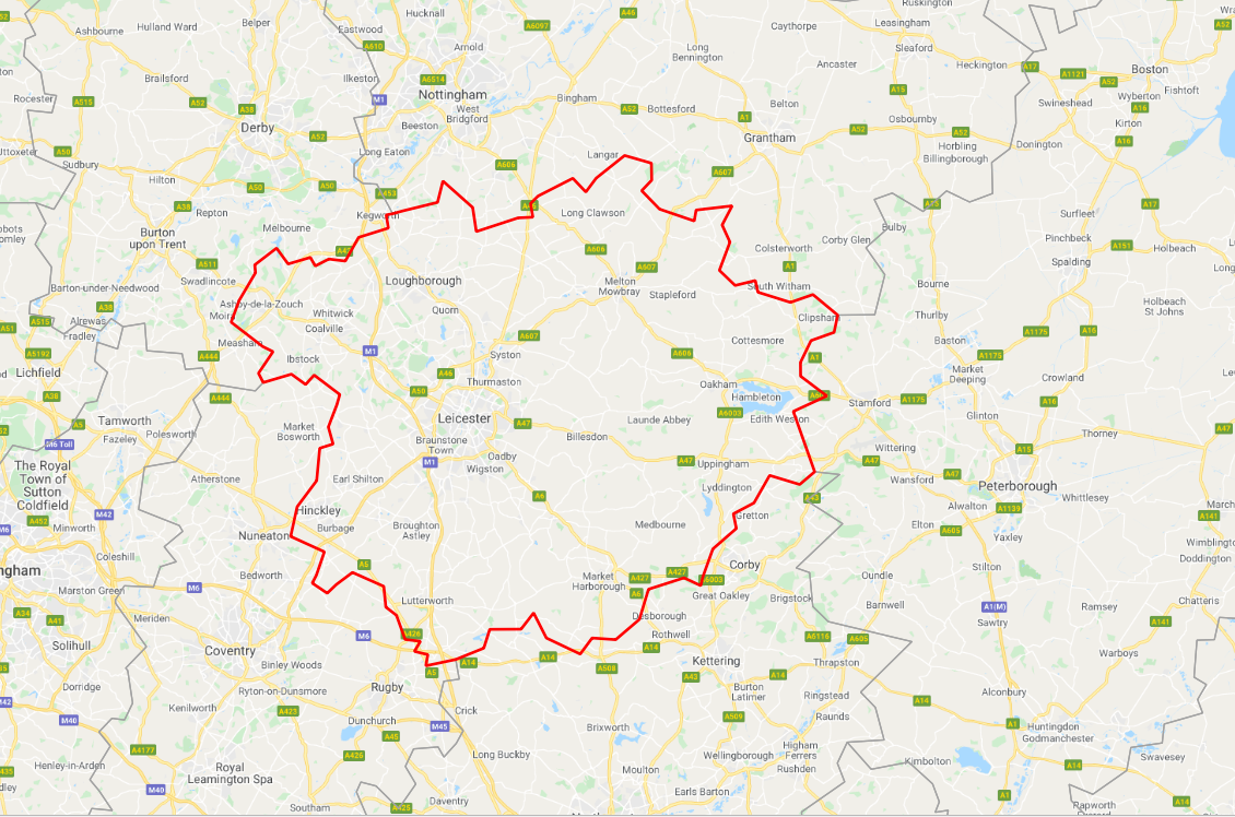
Downloadable files containing the boundary mapping detail for UK Postcode Areas, Districts, Sectors and Full Postcodes.
Use this data to plot postcode boundaries in Google Maps*, Open Street Maps or Geographic Information System’s.
Get our postcode sector data with demographics included – UK Demographic Mapping Data
Data is supplied in Shape Files .shp format for immediate download and the below formats are available by contacting us:
- CSV
- Kml
- SpatiaLite
- GML
All of our shape files are packaged with the corresponding .dbf, .shx, etc. files.
Example Maps using the data sets.
 .
.  .
.  .
. 
*not all products will be able to be imported into Google maps due to their 5mb file size limit. Please contact us for more information.